Elevated Views
High precision aerial surveying, crop growth monitoring and photography
Elevated Views
High precision aerial surveying, crop growth monitoring and photography

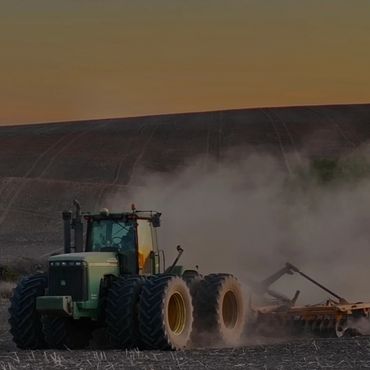
Hey everyone, I’m Beth Richards, founder of Elevated Views. Growing up working on our family farm in the small town of Amphitheatre, Victoria, I developed a strong passion for the agricultural industry.
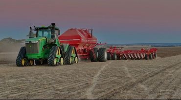
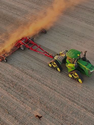
For the last 5 years, I've operated across Australia in broad acre cropping and production, gaining extensive hands-on experience while learning how farmers approach challenges and manage their operations in diverse ways.
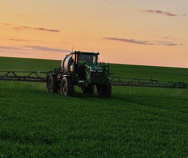
Alongside this, I developed a strong interest in capturing the beauty of agriculture through aerial photography. Understanding the pressures of tight windows, rising input costs and making the right call at the right time, I saw the benefits of NDVI mapping, not just for farmers but also for their crops.
This inspired me to turn my passion into a business focused on aerial mapping, surveying, and photography.

NDVI (Normalized Difference Vegetation Index) uses multispectral cameras to evaluate vegetation health, density, and vigor. This process involves comparing the amounts of red light and near-infrared light, which are not visible to the human eye. Healthy plants absorb red light and reflect more infrared light, while stressed or unhealthy p
NDVI (Normalized Difference Vegetation Index) uses multispectral cameras to evaluate vegetation health, density, and vigor. This process involves comparing the amounts of red light and near-infrared light, which are not visible to the human eye. Healthy plants absorb red light and reflect more infrared light, while stressed or unhealthy plants reflect more red light and less near-infrared light. After capturing these differences in lighting with NDVI, the data is processed to create variable rate maps. These maps show exactly where inputs are needed.
NDVI mapping offers a wide range of benefits, including early detection of problems. The NDVI/Variable rate maps created from these images and data can identify areas of stress, disease, or nutrient deficiencies long before they are visible to the human eye. This enables not only timely but also targeted interventions. Instead of spraying
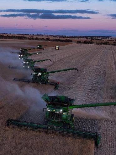
NDVI mapping offers a wide range of benefits, including early detection of problems. The NDVI/Variable rate maps created from these images and data can identify areas of stress, disease, or nutrient deficiencies long before they are visible to the human eye. This enables not only timely but also targeted interventions. Instead of spraying or spreading the entire crop with a fixed rate, farmers can focus on specific areas with issues, saving time, money, and resources. Drones can cover large areas quickly and efficiently up to 200ha/hr, providing valuable information for informed making.

Vegetation is most active during the peak growing season from April to September, although the specific growing season months can vary across different states. This period coincides with the highest value of NDVI mapping, which is essential for effective crop monitoring. The exact timing will depend on the crop type, growth cycle, and preferred weather conditions.